CFHT Nānā ao Data Access

There are two types of published data available from Nānā ao: all-sky images and numerical sky measurements. Instrument status information is also made available. This live Nānā ao data can be viewed on-demand, or used to construct external data repositories.

Nānā ao Operating Parameters

Nānā ao is an all-sky imaging instrument that operates autonomously from sunset to sunrise. Nānā ao operates under specific weather limits, and will not provide data if any of the following rules are met or exceeded:

  • Any ice or snow buildup on the instrument
  • Detected precipitation
  • Humidity: >95%
  • Winds: >45 knots (52 mph, 83 km/h, 23 m/s)

Nānā ao can also be closed at any time, for any reason, by the CFHT Remote Observer on duty.

CFHT Nānā ao All-Sky Images

Looking for the main All-Sky Images page? It's this one!

Nānā ao has two cameras, an optical monochromatic camera, and an infrared camera. Both cameras are fitted with 'fish-eye' lenses to capture >90% of the night sky in both the visible and the infrared. These images are overlaid with the timestamp that the image was taken, and the compass alignment reference.

The difference image is produced by subtracting the previous infrared image from the current infrared image. This reveals changes in the sky, such as the movement of clouds. This image also has the timestamp that the image was taken, and the compass alignment reference.

The mosaic image is a composite image that combines the three individual images (difference, optical, and infrared) into a single image with specific image and environmental metadata overlayed. This includes the temperature, humidity, and air pressure from the on-board weather station, as well as the timestamp that the image was created, and the compass alignment reference. The dashed ring on overlaid on the image indicates the parts of the image above two airmasses.

New images are produced once every 60 seconds, when the instrument is operational. Direct links to the full-resolution Nānā ao images are available below:
Mosaic  •   Difference  •   Infrared  •   Visible

CFHT recommends that users who desire an updating display of real-time Nānā ao images during nighttime operations, should setup an automatic query on these links. Queries should be once per minute to pickup the latest images. More frequent queries will not result in more frequent updates.

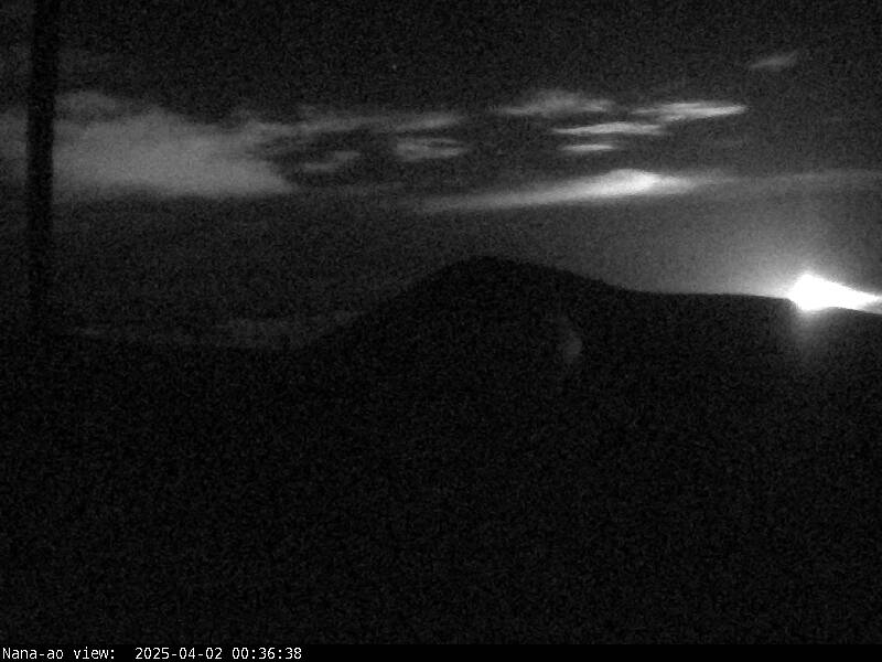
CFHT Nānā ao Numerical Sky Measurements & Instrument Status Data

In addition to the images, Nānā ao also generates numerical measurements of the sky to quantitatively estimate the amount and variation in cloud cover. Instrument status is also published here which can be used to determine if the instrument is currently operational.

All of this information is published via the CFHT public weather server. The data published on the public weather server is the "latest value" and automatically updates as new data come in. As with the images, measurements from Nānā ao are generated once per minute. CFHT recommends that users who desire an updating display of real-time Nānā ao measurements during nighttime operations, should setup an automatic query or webscraper on weather server page, querying once per minute for the latest Nānā ao measurements.

Link to the CFHT Public Weather Server

Nānā ao data is listed at the bottom of the weather server page in four separate fields:

  1. NanaAoTime: The time of the latest update from the automation script (HST)
  2. NanaAoHatchState: The Nānā ao instrument status
  3. NanaAoSkyMean: The mean brightness of the sky, as measured on the latest infrared image.
  4. NanaAoSkyScatter: The scatter of the sky, as measured on the latest difference image.

The Nānā ao Hatch State has three possible values: HATCH_OPEN, HATCH_CLOSED, and HATCH_MOVING. The instrument will generate new data when the Hatch State is HATCH_OPEN only. If the Hatch State is HATCH_CLOSED or HATCH_MOVING, no new data will be generated.

The Nānā ao Sky Mean is a numerical value that measures the mean brightness of the sky. Higher value generally indicate increased cloud cover. THIS PARAMETER IS STILL BEING CHARACTERIZED. Expected ranges and additional interpretation will be published when available.

The Nānā ao Sky Scatter is a numerical value that measures the scatter on the difference images. Higher value generally indicate greater variation in cloud cover across the image. THIS PARAMETER IS STILL BEING CHARACTERIZED. Expected ranges and additional interpretation will be published when available.

Current Nānā ao images and data are only available when the Hatch is open (see above). When not operating, no new images will appear and the weather server page will display "invalid" in the Sky Mean and Sky Scatter fields.

Sample data, as displayed on the weather server page during instrument operations:

NanaAoTime = 2025/03/18,06:13:12 # Heartbeat time of the automation script
NanaAoHatchState = HATCH_OPEN   # Hatch state
NanaAoSkyMean = 330.1      # Mean value across sky image
NanaAoSkyScatter = 0.7      # Scatter across sky image

In addition to Nānā ao images and data, CFHT also publishes direct measurements of extinction caused by cloud cover, using an instrument called SkyProbe. More information on this instrument, as well as data access information is available on the SkyProbe page.

Nānā ao Monitoring Webcam

Nānā ao is equipped with a webcam that is pointed at the instrument. This camera can be used to quickly determine if there is ice or snow buildup on the instrument, and to see if there is other inclement weather at the instrument site. Also note that behind the instrument is the summit of Maunakea.

This camera operates 24 hours a day, but it is not equipped with infrared night imaging capabilities. As a result, the image will likely be dark during the night (except for very bright moonlit nights). The current image is available below. To access the full resolution image from this camera, use this link: Webcam

Nānā ao Webcam Image Copyright © Canada France Hawaii Telescope Corporation.
Permission is granted to copy, distribute and/or modify these images under the terms of the GNU Free Documentation License,
Version 1.3, or any later version, published by the Free Software Foundation. A copy of the license can be found here.
For inquiries, contact info@cfht.hawaii.edu